High-precision spatial coordinates
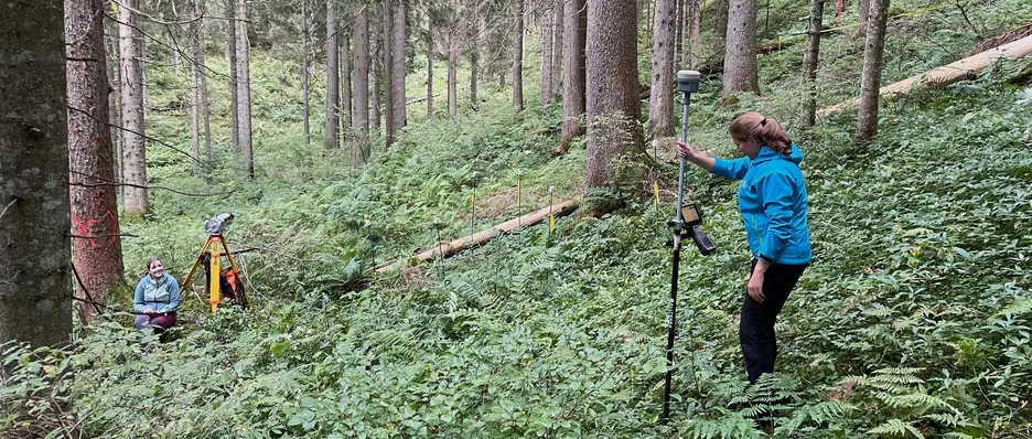
Global Navigation Satellite Systems are satellite-based systems for precise positioning and include GPS, GLONASS, Galileo and Beidou. We use GNSS devices to locate data collected in the field with high accuracy (<1 m accuracy) and thus to enable the intersection with Earth observation data. We have two Emlid Reach-RS2 RTK-GNSS receivers, which can be operated either in rover/base modus or individually. For a highly accurate correction we use the Bavarian SAPOS system. The devices can be borrowed if required.